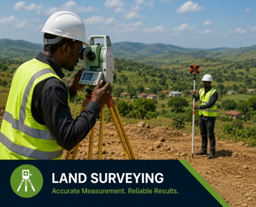
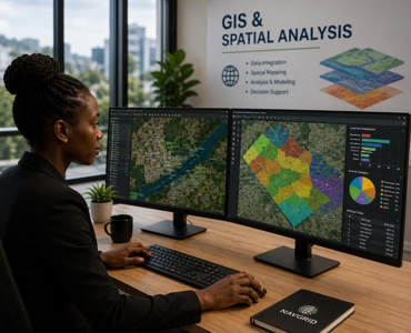
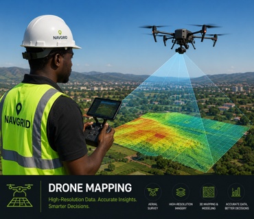
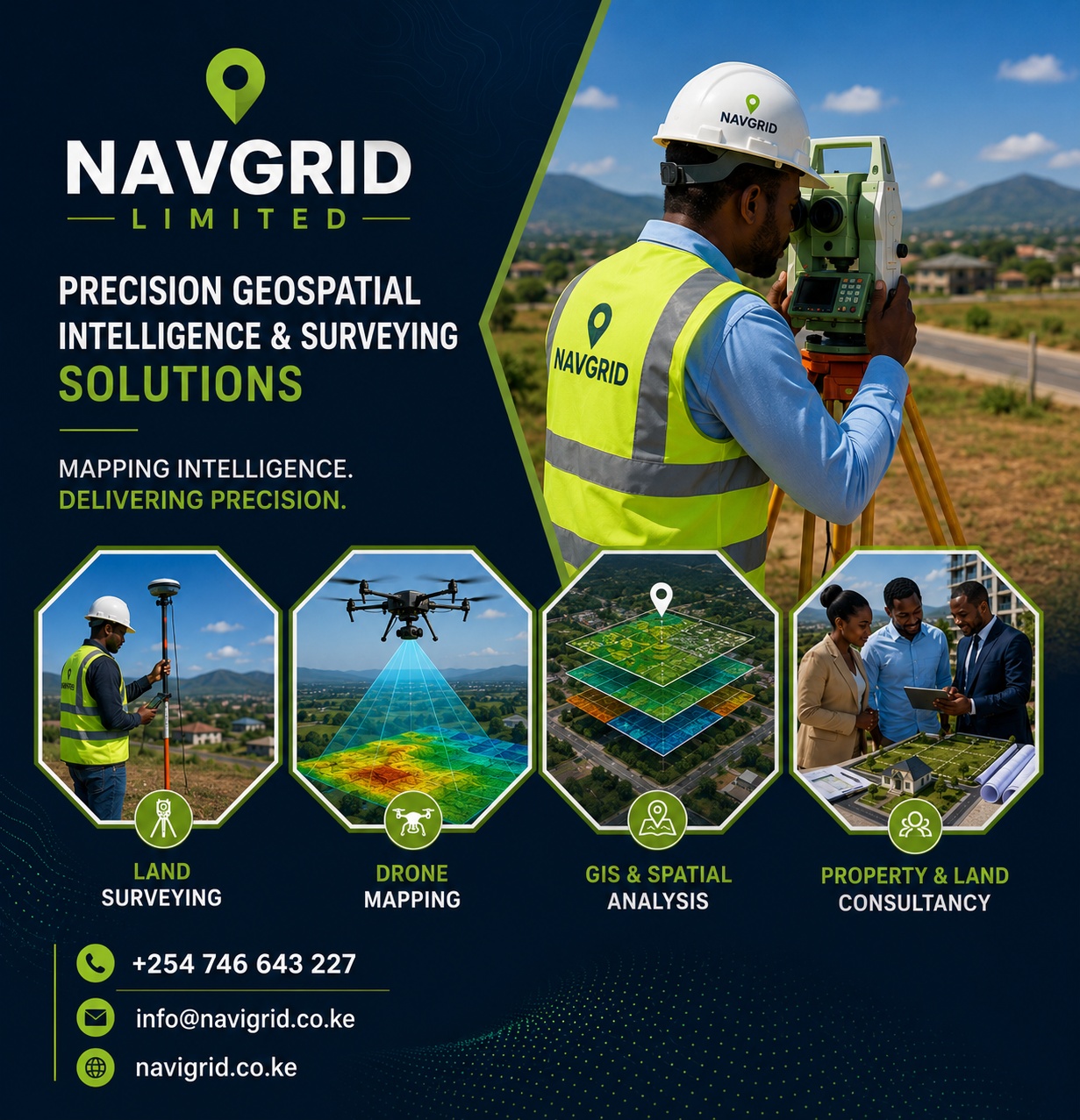
Preloader Close
Our Services

Precision Geospatial Intelligence & Surveying Solutions

Service 01

Land Surveying

We provide professional land surveying services for boundary identification, subdivision planning, cadastral surveys, land verification, and beacon establishment.

Service 02

GIS & Spatial Analysis

We develop GIS solutions that support spatial planning, resource management, and infrastructure development.

Service 03

Drone Mapping

Navgrid Limited utilizes drone technology to collect accurate aerial data for mapping,monitoring, and analysis.

Service 04

Engineering

We support engineering and construction projects through accurate geospatial data and site positioning services.

Service 05

Mapping & Cartography

We create professional maps and spatial products for planning, reporting, and decision - making purposes

Service 06

Property & Land Consultancy

We provide professional support in land and property -related matters.

Service 07

Real Estate & Property Acquisition

Specializes in real estate support services and strategic land acquisition solutions

Precision Geospatial Intelligence & Surveying Solutions

About Company

Precision Geospatial
Intelligence
& Surveying Solutions

  • Certified
  • Innovative Work
  • Experienced

Navgrid Limited is a forward -thinking surveying and GIS company committed to delivering high -precision geospatial intelligence solutions. We combine advanced surveying techniques, drone technology, GIS analytics, and modern geospatial systems to provide ac curate, reliable, and data -driven insights that support informed decision -making across various sectors.

The company specializes in land surveying, mapping, geospatial analysis, drone data acquisition, Engineering surveys, GIS database development, and infrastructure support services including Real Estate.

Precision

Precision

We prioritize accuracy and attention to detail in every project we undertake

High Quality
Materials

Integrity

We conduct our operations with honesty, professionalism, and accountability.

Innovation

Innovation

We embrace modern technologies and continuously improve our methodologies.

Excellence

Excellence

We strive to exceed client expectations through quality service delivery.

Reliability

Reliability

We provide dependable and timely geospatial solutions to support informed decision - making.

Sustainability

Sustainability

We promote environmentally responsible and sustainable development practices.

Interesting Numbers

Fun Facts By The Numbers

0 k

Projects Completed

0

Expert Workers

0 k

Awards Recieved

0 %

Happy Customers

Work Gallery

Recently Completed Works

How it Works

Standard Working Process

  • Consultation

    Except to obtain some advantage from it but who has any right to find.

  • Detailed Proposal

    Advantages from it who has any right too man who chooses to enjoy.

  • Project Execution

    Obtains some advantage from it’s who has any right to find fault with.

<
Testimonials

Words From Our Customer

Testimonials

+254 746 643 227

Perfectly simple & easy to distinguish free hour when power of choice is nothing prevents our being.